by c2itconsult | Mar 24, 2023
Lawrenceburg Mapping The City of Lawrenceburg sits along the Ohio River in southeast Indiana, 35 minutes west of Cincinnati. Over the years, the City of Lawrenceburg and Lawrenceburg Municipal Utilities (LMU) have managed its power, water, sewer, storm sewer, and...
by c2itconsult | Jun 4, 2021
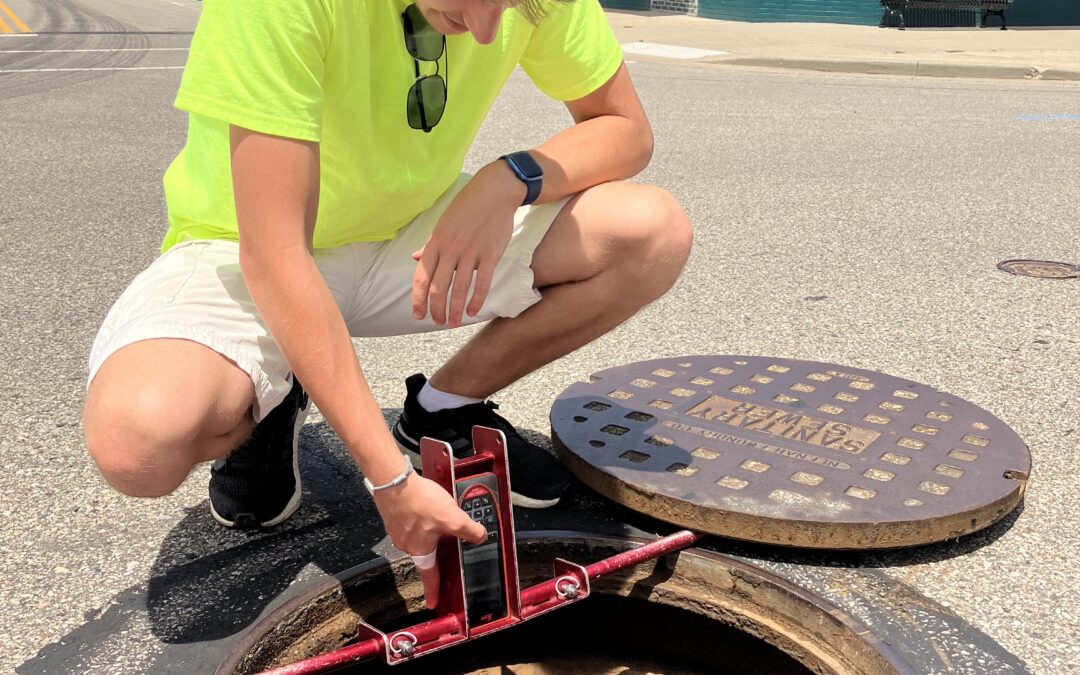
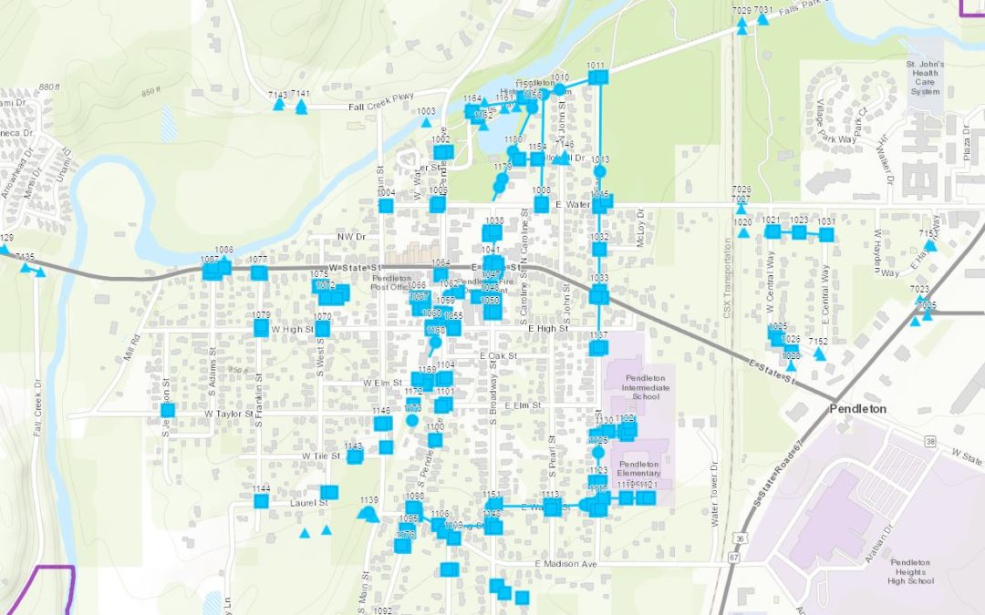
Pendleton Storm Mapping The Town of Pendleton currently relies on a map from the 1960s and utility personnel knowledge for maintaining their stormwater system. The map is semi accurate, but any updates since the 1960s are not included. Some of the connections that...
by c2itconsult | Jun 3, 2021
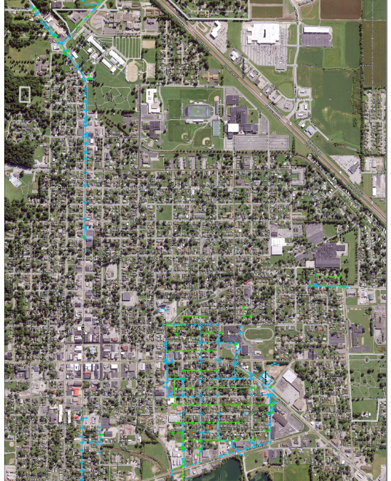
Pendleton Electric Mapping On May 27th, 2019 the Town of Pendleton was hit by an EF2 tornado, uprooting the beautiful tree-lined streetscapes. The historic trees uprooted sidewalks and underground utility lines as they fell into the street pavement and adjacent...
by c2itconsult | Mar 16, 2021
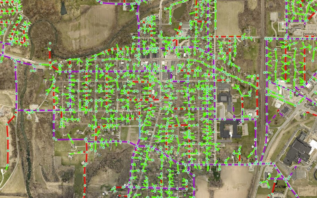
Martinsville Mapping The City of Martinsville has separate storm and sanitary sewer infrastructure systems which extend throughout the entire city. The city public works staff relied on dated maps, old CAD data, and historical knowledge to locate the pipes and...

by c2itconsult | Mar 16, 2021
IUPUI Mapping Banning and IUPUI receiving the 2018 Special Achievement in GIS Award IUPUI hired Banning Engineering for GIS services that would map their campus’ stormwater and sanitary sewer infrastructure over a four-year period. In the past, university personnel...
