GIS for Public Awareness
Does your municipality, county, or utility have a story to tell? Do you have a message to tell that is best delivered with a map? Are you wanting to gather information from your citizens or customers? Banning can help you tell that story, make that map, or obtain that information, with web-based maps, story maps, and online surveys.
Pendleton Stormwater Survey
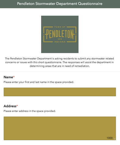
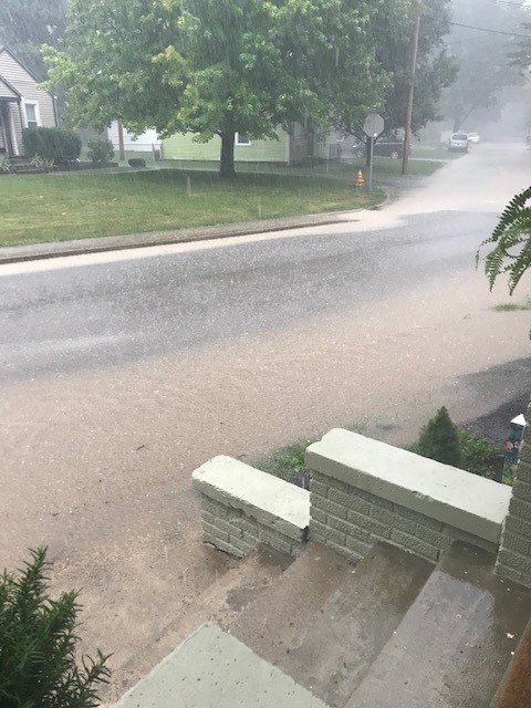
Town of Pendleton was looking to make improvements to its stormwater infrastructure. To help determine areas of need, the Town sought input from its residents. While they did host an open house for public input, they wanted to have a way for residents to give their input remotely in the time of COVID. Banning helped create an Esri Survey123 form that allowed virtual responses for town leaders. The form allowed residents to not only describe their stormwater concern, but also to share pictures and specific location on a map.
Click here to check out our interactive project walkthrough.
US 40 Story Map
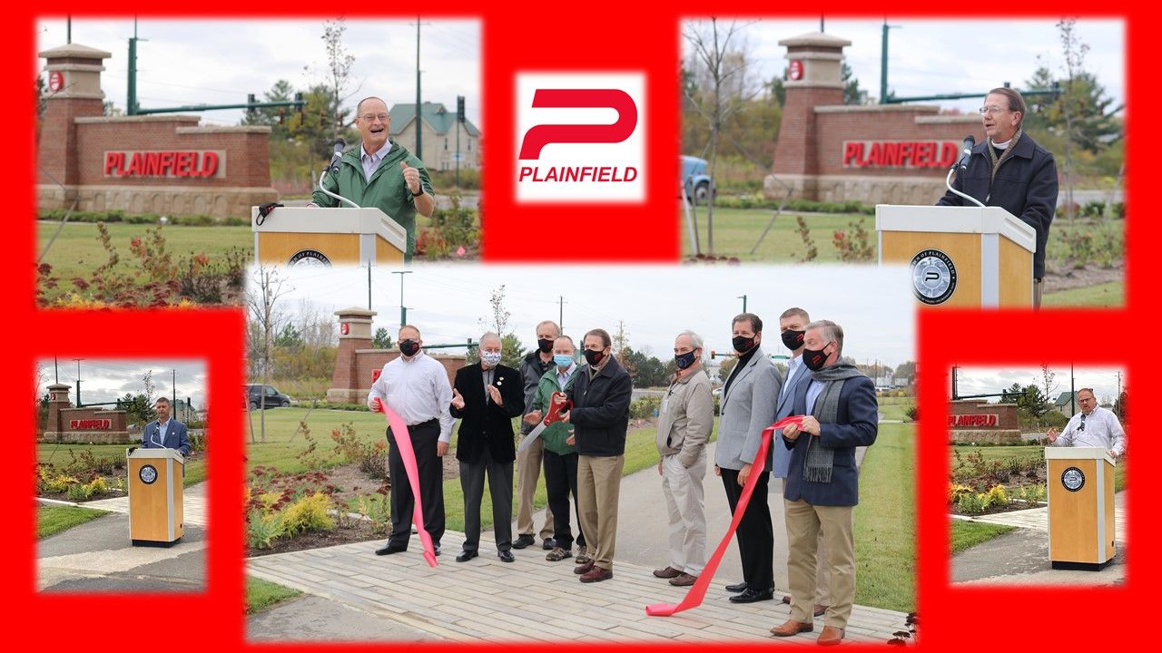
The Raceway Road project contains historical elements as well as messaging for forming Plainfield community identity in the future. The old national road, proving the lifeblood of Plainfield commerce at one time, is memorialized in the landscape architecture although members of the community may never know it. Banning Engineering created an Esri Story Map to show appreciation to the old national road and to promote community use of a new trail. Plainfield citizens can use the story map access the photos and footage that tell the history, and future, of Plainfield and the old national road.
Danville Water and Wastewater Story Maps
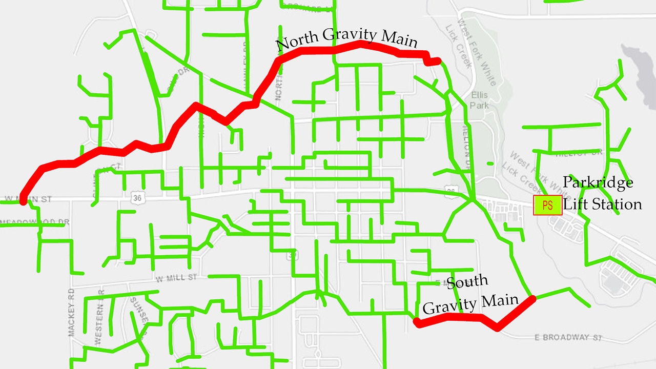
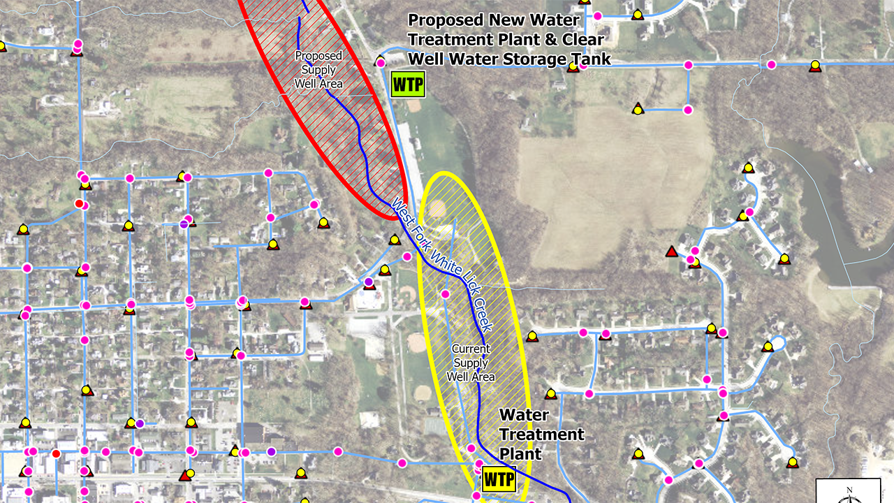
The Town of Danville is growing as a community. But with growth comes the need to upgrade some infrastructure. The towns Water and Wastewater Departments wanted a way to showcase the need for infrastructure upgrades while showing the benefits. Banning Engineering helped create an Esri Story Map for each department to tell their story.
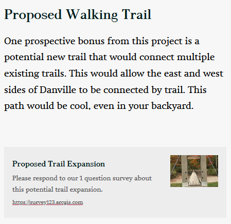
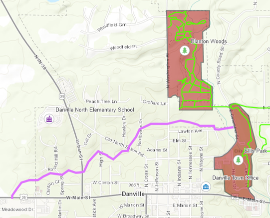
Danville Trail
In conjunction with potential water and wastewater upgrades to the town, they wanted to reach out to citizens about a potential new trail. Banning Engineering created an Esri Survey123 form to solicit responses.
