GIS Additional Services
GIS is more than just asset management and mapping software.
GIS is beneficial to many government departments and industries. Banning Engineering can work with you to determine if GIS is a viable, and useful, tool to solve any issues you may encounter. Below are some examples of services we’ve provided to help solve issues.
Parks
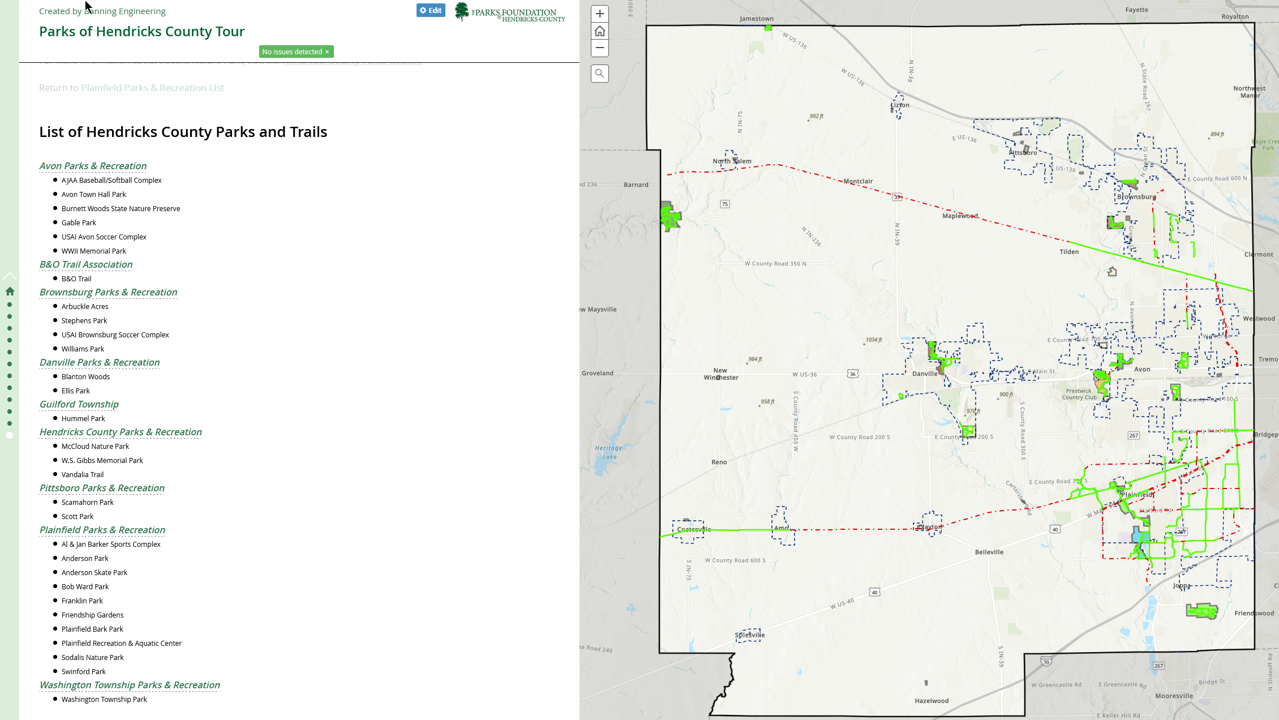
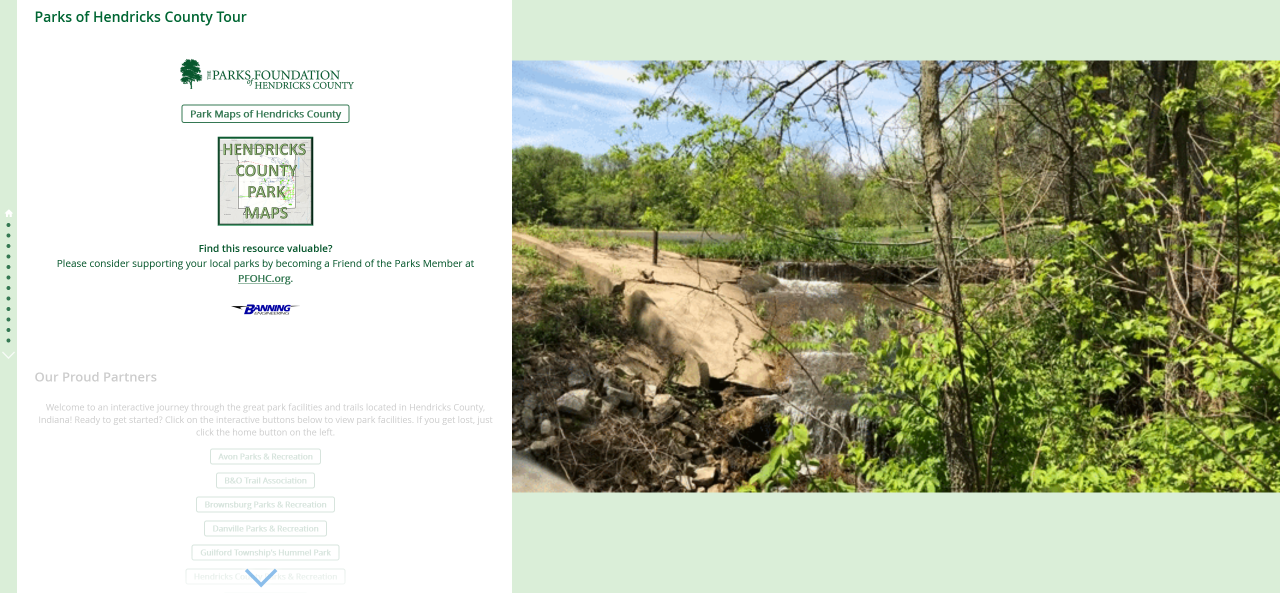
Parks Foundation of Hendricks County was looking for a different way to showcase all the great parks and trails in the county while gaining additional support. The Parks Foundation turned to Banning Engineering, who felt an Esri Story Map would be great for their idea. Banning GIS staff worked with the Parks Foundation to create a ‘tour’ of county parks and trails that was informative and interactive.
Banning has also worked with the Park Foundation in 2019 to produce a story map for their Summer Fun Run. This story map not only showed the date and address for each weekly run but also gave the sponsor prominent placement. Each fun run location also had an interactive map that showed the end user where to start the fun run, as well as buttons to select that would display the Short Route or Long Route for that days fun run.


Surveyors
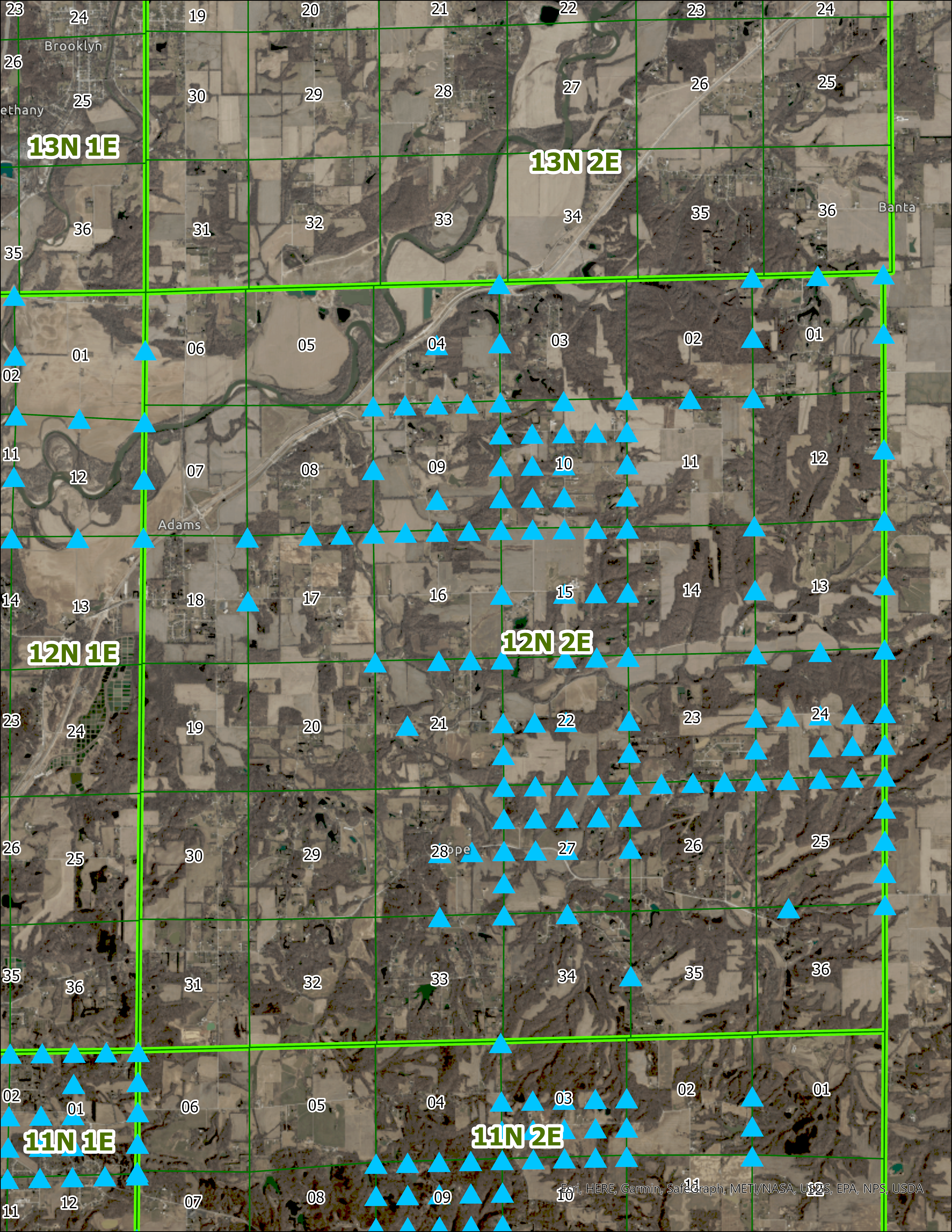
When COVID-19 began, the Morgan County Surveyors Office realized they had a issue accessing documents and information, as all staff were required to work from home. While they did have tie-sheets available online, they didn’t have access to all the documents they generally used to perform their duties. The county surveyor, Terry Brock, realized that they needed to find a better way to access information while not in the office. Banning Engineering Survey Department was working with Morgan County on section corner perpetuation and we were using GIS to show work progress. So the decision was made to move forward with a GIS solution to their issue. When the project is completed, Morgan County Surveyor’s office will have an online, mobile friendly map that will have all section corners with links to corresponding documents. These documents could range from tie-sheets, photos, and potentially drone videos. The Surveyor’s office, and Banning Engineering, feel this will be a great way to improve services to the county and surveyor’s office.


