GIS for Roads
Road Ownership
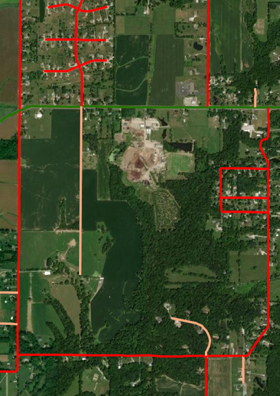
Are you getting all the money you should for the roads you own? Having your road network in GIS allows you to visualize which roads you are responsible for as a government entity. Banning Engineering can help you determine ownership on undefined roads while also preparing a map to share with your staff, board and/or commissioners, and your constituents. We can also assist with preparing your yearly data submission to the State of Indiana of accepted roads.
Street Signs
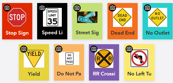
Street signs are an asset that can be hard to manage. Signs get hit in traffic accidents or they lose their reflectivity or paint over time. The fact is signs need to be replaced on a regular basis. Banning Engineering can assist you in getting all your street signs in GIS and on a map. This will allow you to have an updated, and current, inventory which makes it easier to determine maintenance schedules, as well as sign replacement materials.


PASER Road Rating Maps
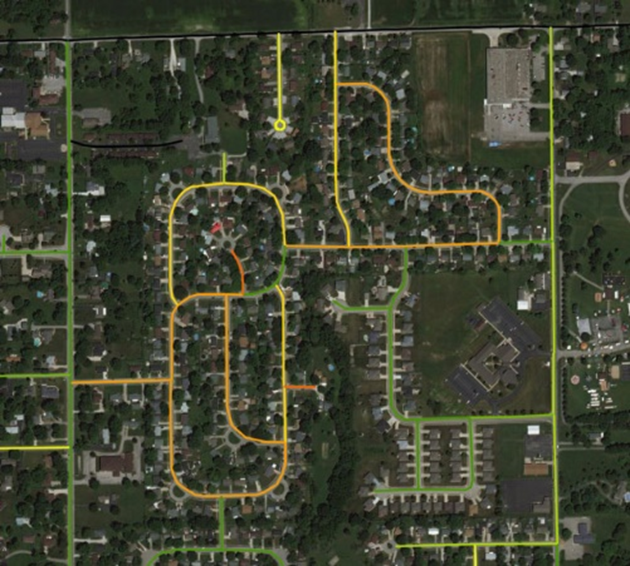
Are you ready to get serious about managing your street network? Since 2016, the Community Crossings Matching Grant through INDOT has required an asset management plan. Banning can create an interactive map of your street network with each segment color coded by PASER Pavement rating. More powerful yet, showing multiple years of PASER data can show deterioration trends. With this data, you can create a long-term capital improvement plan with a powerful visual to show the public and elected officials
