Planning for Economic Development
What is GIS Planning for Economic Development?
As communities expand, more and more opportunities for economic development arise allowing ways for GIS to be leveraged to increase marketability and highlight key features of sites. Banning Engineering can help make your community desirable for potential site selectors by offering the following economic development services in GIS:
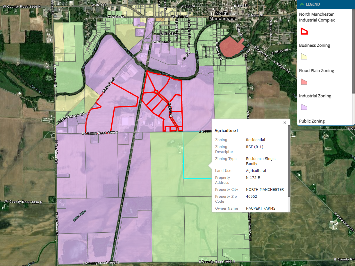
- Creating site selecting maps that use refining parameters such as topography, floodplains, proximity to transportation routes, and utility access to identify prime sites for selectors
- Designing interactive story maps that allow you to showcase maps, images, and videos highlighting your community and development
- Generating 3D renderings of potential site layouts
- Consolidating existing economic development information such as zoning, proposed layouts and more, into a holistic online map


