Pendleton Storm Mapping


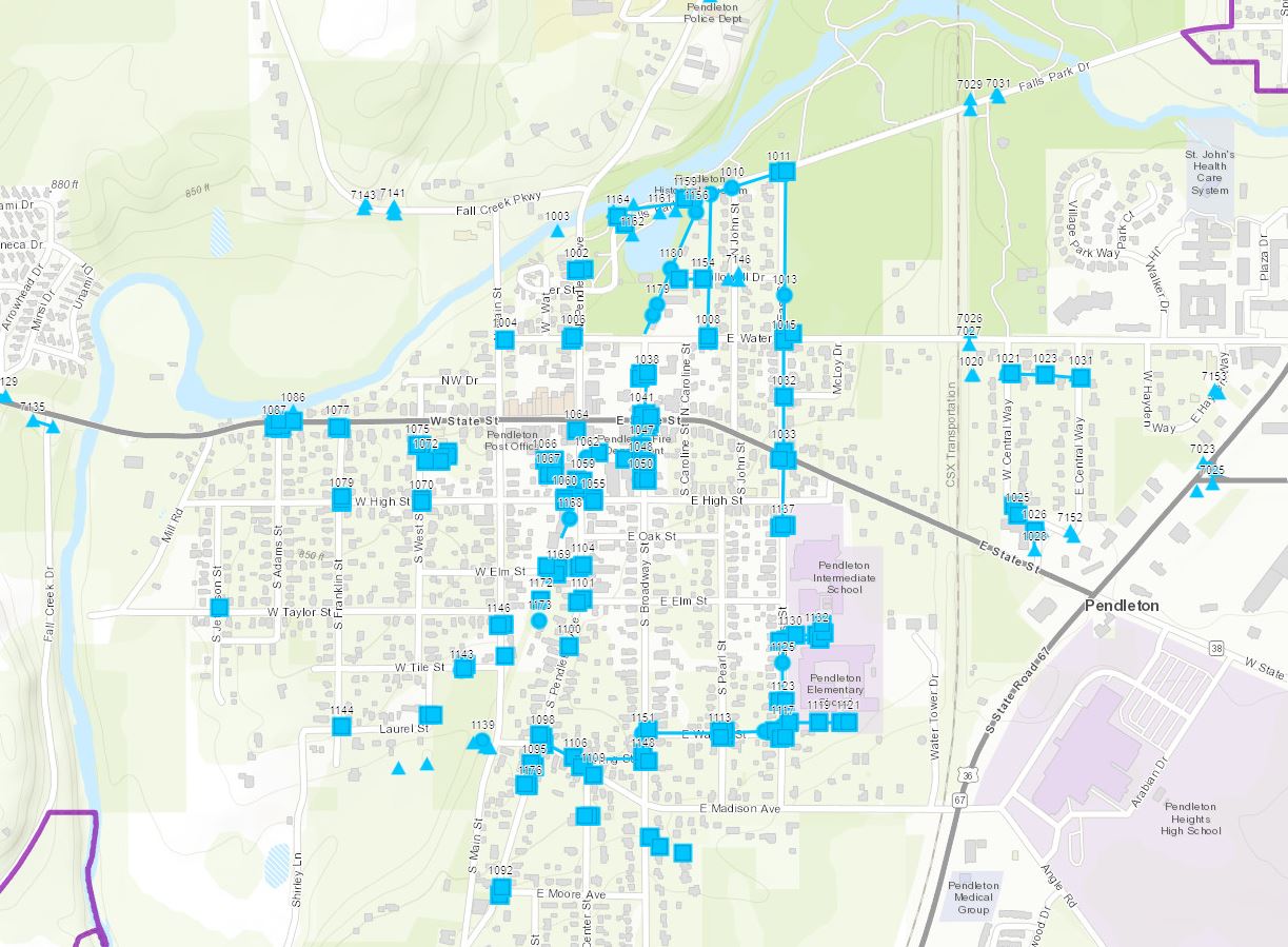
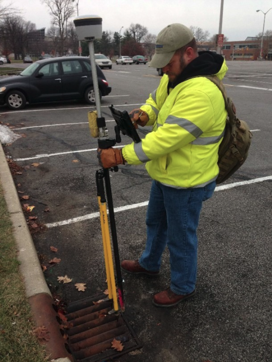
The Town of Pendleton currently relies on a map from the 1960s and utility personnel knowledge for maintaining their stormwater system. The map is semi accurate, but any updates since the 1960s are not included. Some of the connections that are shown on the map are non-existent. Banning Engineering was tasked with locating the stormwater structures, which included the manholes, inlets, culverts, and discharge points. The intent of which was to provide data and information so that the town could properly plan for future maintenance to their stormwater system. The stormwater structures were located with mapping grade horizontal accuracy and with survey grade vertical accuracy. Invert data was also collected with survey grade vertical accuracy. Data was processed in the office to populate the pipe data, which included size, type, and slope. A sub-contractor with a camera system investigated uncertainties in the system. The inspection reports as well as photos of the interior of the structures are attached to the appropriate feature within the GIS database so that records can be easily maintained
