by c2itconsult | Mar 12, 2025
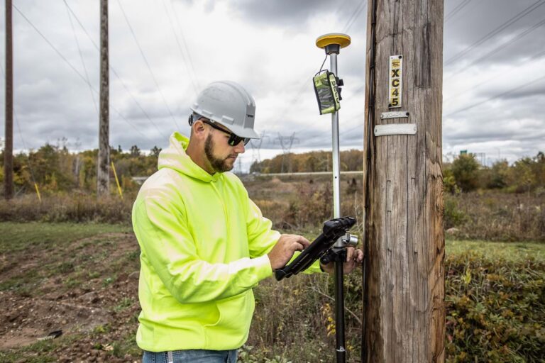
Transforming Utility Management with ArcGIS Field Maps and Trimble Catalyst Banning Engineering is featured in an ArcWatch article from February 2025. With Trimble distributor Seiler Geospatial and Lawrenceburg, Banning began a citywide project to collect utility...

by c2itconsult | Feb 3, 2025
Mapping a Multi-Mile Earthen Levee Some of the most interesting engineering marvels are the ones that you hardly notice or ever think about. To many people, a levee is just a large hill that looks like it would be fun to sled down. But a levee is a crucial engineered...
by c2itconsult | Dec 2, 2024
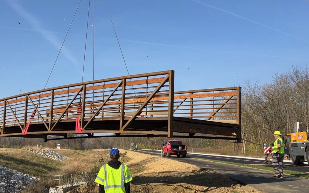
Northwest Perimeter Parkway, Plainfield Bridge Installation ~ We were honored to once again work with the Town of Plainfield to construct the roadway section between CR 300 S and Gibbs Road. The connecting trails were built to make a loop for pedestrians and cyclists....
by c2itconsult | Dec 2, 2024
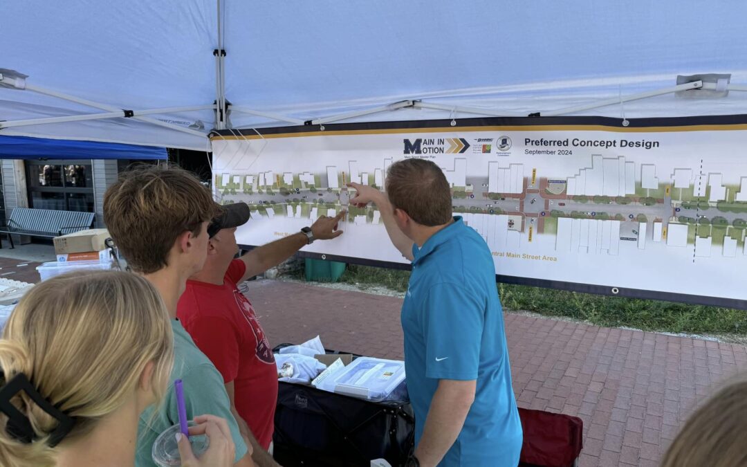
Main in Motion, Mooresville Main Street Banning Engineering collaborates with the Mooresville Redevelopment Commission to Develop Plan for Main Street ~ The project, called Main in Motion, will include Main Street from Monroe Street on the west to Maple Lane on the...
by c2itconsult | Nov 18, 2024
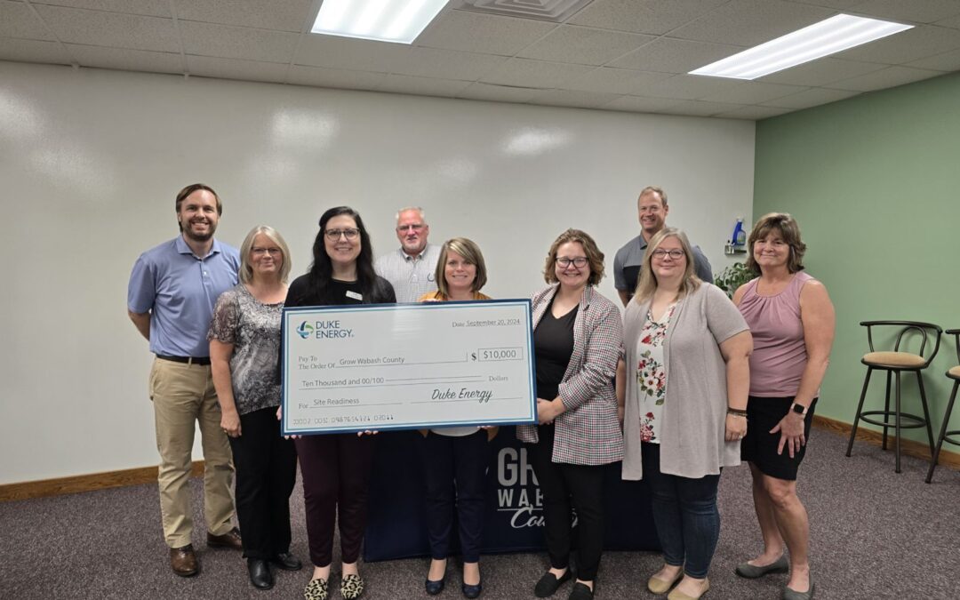
Fulton, Wabash County Sites Chosen for Economic Development Program Two counties in north central Indiana could become the state’s next major development sites thanks to a program through Duke Energy. Our Banning Economic Development team has been honored to play a...
