Monon South Trail Survey


Written From The Desk of Jon Polson
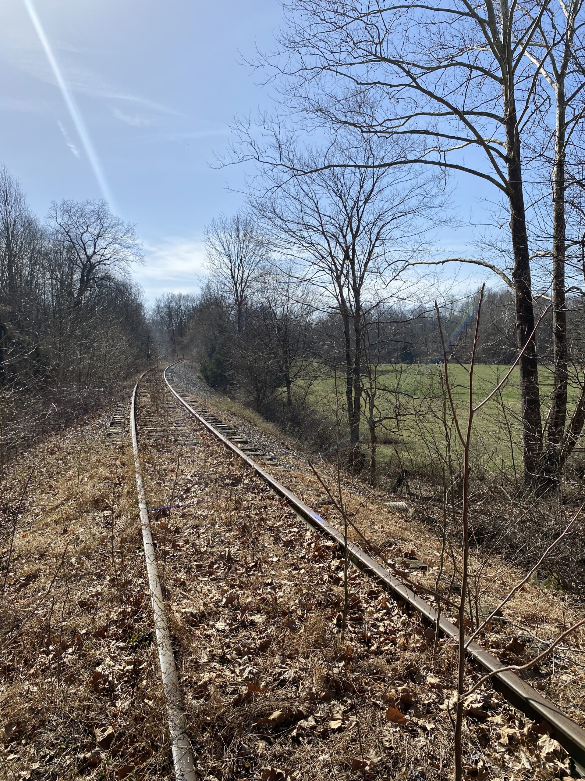
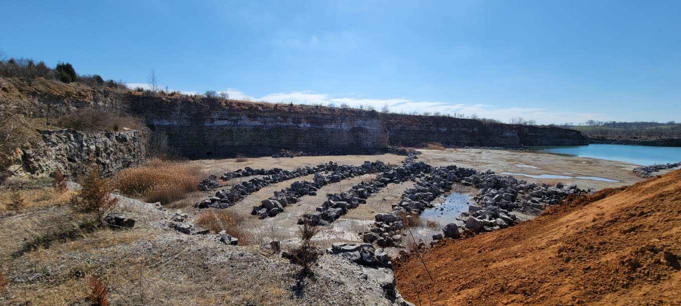
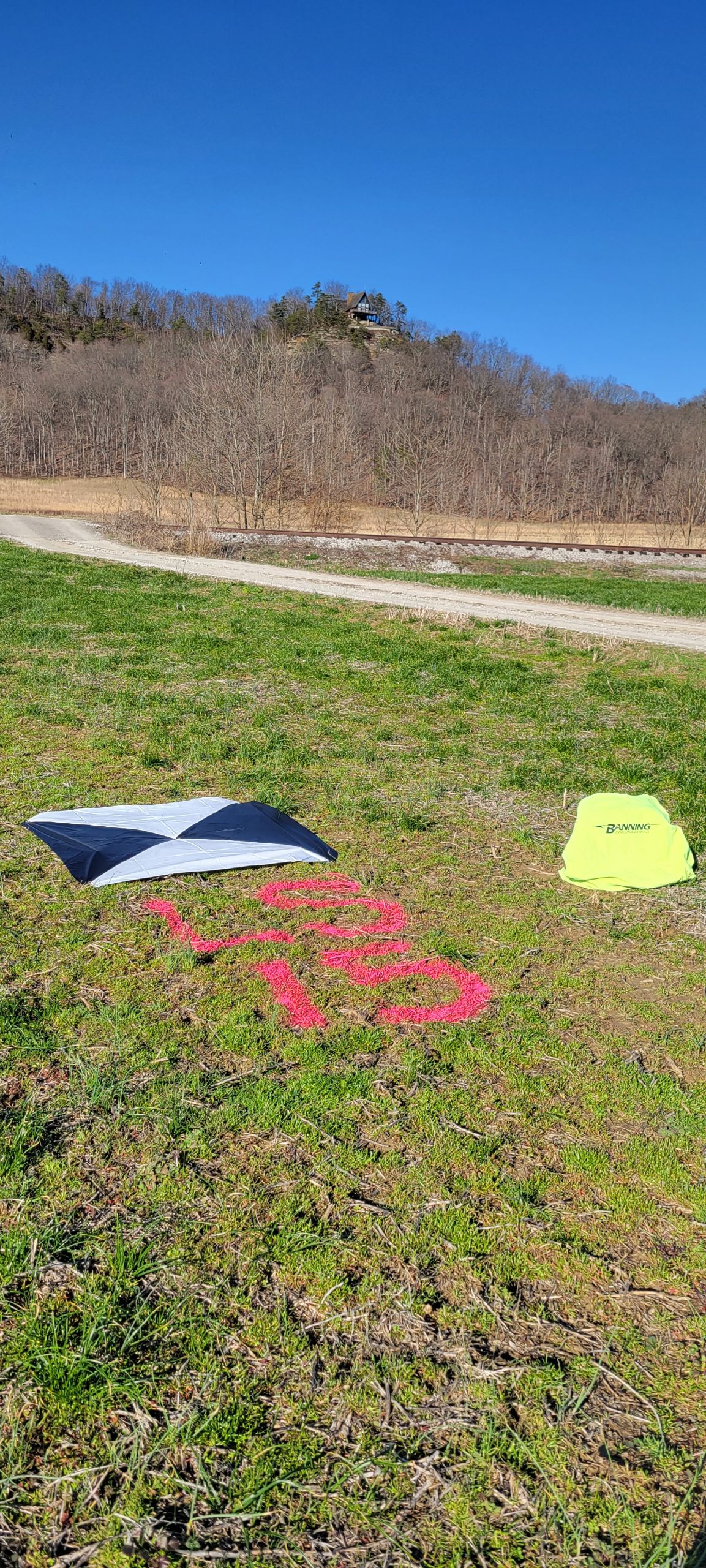
Once Upon a Time, seven brave men set out on an adventure to map 55 miles of rail line across the wilds of Southern Indiana. The goal, you may ask, is to survey the Monon South Trail corridor via ground-controlled UAV LiDAR. The task at hand this past month, you may wonder, was to establish approximately 140 ground control points for the LiDAR flight. These men acting under the authority of their valiant Project Manager, Will Hogstrum, accomplished unimaginable feats of heroism. The project originally planned to take four days was completed in less than three. During the first day of the trip, one of their old, fat horses, a Ford F–150, overheated and nearly died, but with the crew’s help, they revived the old fat horse and got her going again. The vet, Alex, had to do emergency exploratory surgery outside the local saloon. Also, one of the wagons was slightly damaged in a small incident, but repairs were ordered quickly. The men had unique skills to bring to the team, but they all unified to make the project a total success.
I want to share that the four crews were made up of various departments with Banning and set approximately 140 aerial targets across 55 MILES of southern Indiana countryside.
Phase 2 will begin in the next few weeks and will involve a couple of survey crews and maybe the old fat horse.
We salute our team: Will Hogstrum (PM,) Austin Meyer, Parker Mays, Logan Vieck, Andy Steele, Cole Long, Eric Moore, and Alex Nalon! Good work, men! Thank you to our other department leaders for sharing their employees for this special project.