
A drone lifts off above a job site, and in the time it takes the crew to drink their coffee, it has captured what used to take a full day on foot: a detailed topographic map, accurate to the centimeter, stitched together from millions of laser measurements. LiDAR-equipped drones can now scan a site in minutes, delivering maps faster than any ground crew could. It is a remarkable thing to watch, and it is genuinely changing how engineering and survey work gets done.
So it is worth being clear-eyed about what that technology actually does, and what it does not.
The gains are real. Machine learning now helps process the enormous volumes of data those flights produce, cleaning up point clouds, filtering out noise, and catching inconsistencies before they ever reach a deliverable. Similar tools are being used across the industry to assess pavement condition, forecast flooding, and model how stormwater moves across a landscape. For Central Indiana communities watching familiar creeks rise after every heavy rain, and county roads buckle after every freeze-thaw winter, that kind of analysis is not abstract. It is the difference between reacting to a problem and seeing it coming.
But notice what all of those tools have in common. Every one of them produces an answer faster. Not one of them can tell you whether the answer is right.
A flood model is only as trustworthy as the engineer who understands the watershed feeding it. A point cloud does not know which ridge is a drainage swale and which is a pile of fill that will be gone next week. And a survey is not just data, it is a legal document. The responsibility for its accuracy rests with a licensed professional who signs and stamps it, and who answers for it long after the drone has landed. An algorithm cannot carry that weight. It cannot be held accountable, and it cannot stand behind a stamp.
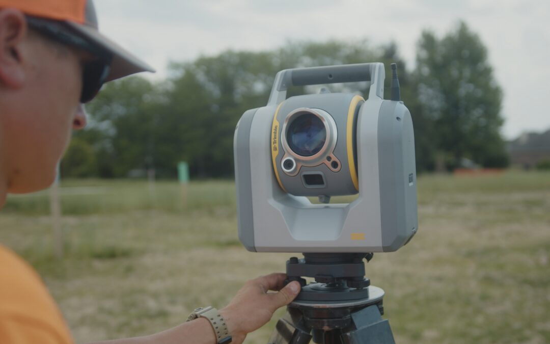
This is not a new tension. GPS and total stations once reshaped surveying too, and before them, it was the shift from chains and transits to electronic distance measurement. Each time, the profession absorbed the new tool the same way: not by handing over the work, but by freeing skilled people from the slowest parts of it so they could spend more time on the parts that actually require a human. A crew that no longer spends a full day walking a site can spend that day thinking about what the site is telling them. That is not a small gain. It is the whole point.
Because the hardest questions in this work were never really about measurement. They are about judgment. Is this the right place for the road? Will this design still serve the community in thirty years, or just satisfy it today? What does this land want to do with water, and are we working with it or against it? No model answers those questions on its own. They take experience, local knowledge, and a willingness to be accountable for the call, the things that do not come standard with any software license.
The communities we serve are not asking for the latest technology. They are asking for roads that drain, intersections that work, and infrastructure that holds up for decades. The tools that help us deliver that will keep getting faster and sharper, and we will keep using them. But the judgment to know what the data means, and the responsibility to get it right, stays exactly where it has always been. That is not a limitation of the technology. It is the part of the work worth protecting.