
Mid-August brought another round of flooding to Pendleton, closing roads across town just weeks after the last high water.
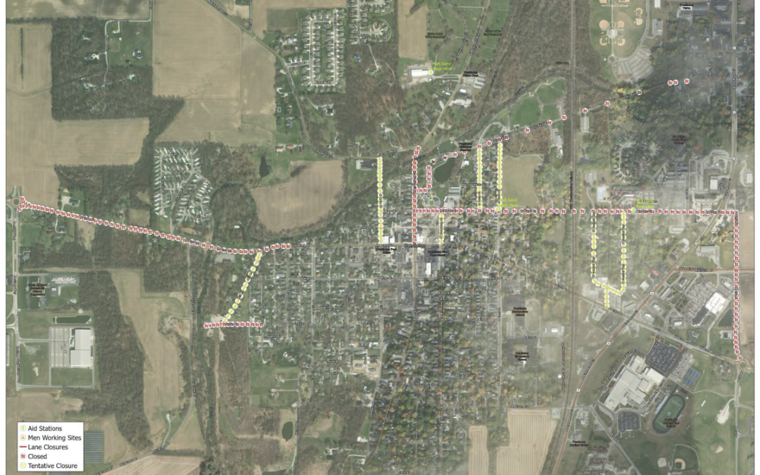
The Town needed a fast way to show residents which roads were passable. Our GIS technician, Jake Robertson, put together a closure map they could post to Facebook, marking closed and tentative closures, lane restrictions, aid stations, and sandbag pickup.
Pendleton is home to one of our offices and a lot of our neighbors. We are glad we could help, and our thoughts are with everyone still cleaning up.