The City of Lawrenceburg sits along the Ohio River in southeast Indiana, 35 minutes west of Cincinnati. Over the years, the City of Lawrenceburg and Lawrenceburg Municipal Utilities (LMU) have managed its power, water, sewer, storm sewer, and fiber network using record drawings and survey technology. With some key employees nearing retirement, the City recognized it’s time to modernize the system. Lawrenceburg issued an RFP with Banning Engineering successfully awarded the project with the goal of mapping all four utilities and LBC fiber network.
The Banning Engineering project team consists of Mark Butler, Project Manager; Tom Maggard, GIS Manager; Logan Vieck, Field Supervisor; and Dalton Kane and Andy Steele, Mapping Technicians. The Banning Survey Department also offers support by fixing insufficient shots. Banning Engineering has partnered with two sub-consultants for this project. IMPA is mapping the electric while Mason Private Locating is mapping the fiber network. The project team started the utility mapping process in May 2022 with a group meeting, expectations, and training.
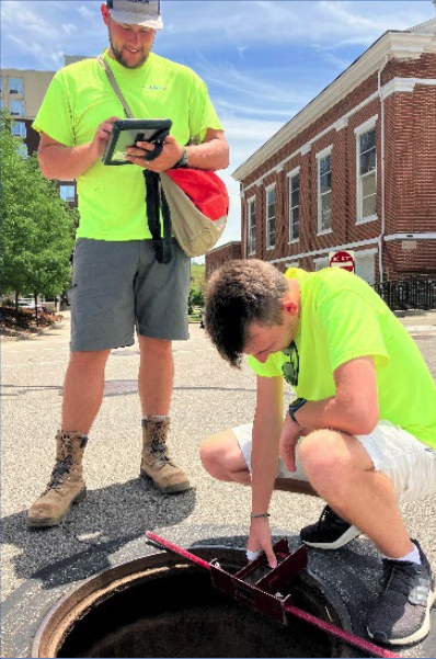
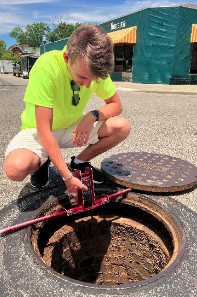
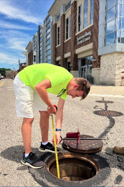
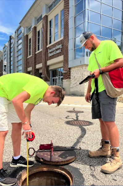
The City of Lawrenceburg and LMU require very accurate data collection. We are using our highest mapping accuracy (1cm) to attain this. The GIS mapping process is as follows: One of our mapping technicians places the pole on a utility point, then Bluetooth is used to send the data location to the iPad. Next, the GIS Field Maps App is used to collect and log more information. For example, the app can capture images and collect specific attributes of an electric pole or manhole. Through this process, we are building a critical network of utility data.
Overall, the GIS utility mapping should take one year to complete. Banning Engineering designed an online dashboard to keep the City of Lawrenceburg and project team in the loop. The dashboard includes an Overall Map, status board for each utility and provides an Issue Tracker. The goal is to eliminate what, when, and where questions and display what issues are occurring. Our staff has created a decision matrix to assist and determine, based on the weather, if it’s appropriate to map for that day. The individual utility pages show a progress indicator to easily track our work and a progression map displaying the mapped and unmapped utility lines. On the Issue Tracker, Mapping Technicians note unmapped items due to a hindrance. Once our partner organizations have reviewed those issues and fixed the problem, technicians go back and map that utility area.
Banning Engineering has been thrilled with the opportunity to work with Lawrenceburg. Project Manager Mark Butler recently shared, “The City of Lawrenceburg has been exceptionally cooperative and has knocked it out of the park. This process has been very hand in hand, and we are excited about the product we are creating together as a team”. Our project team will continue tracking the utilities and fiber infrastructure so this time next year, Lawrenceburg will have a reliable GIS Mapping System source to access and monitor its LMU utilities and LBC fiber network.