
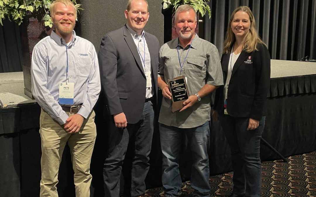
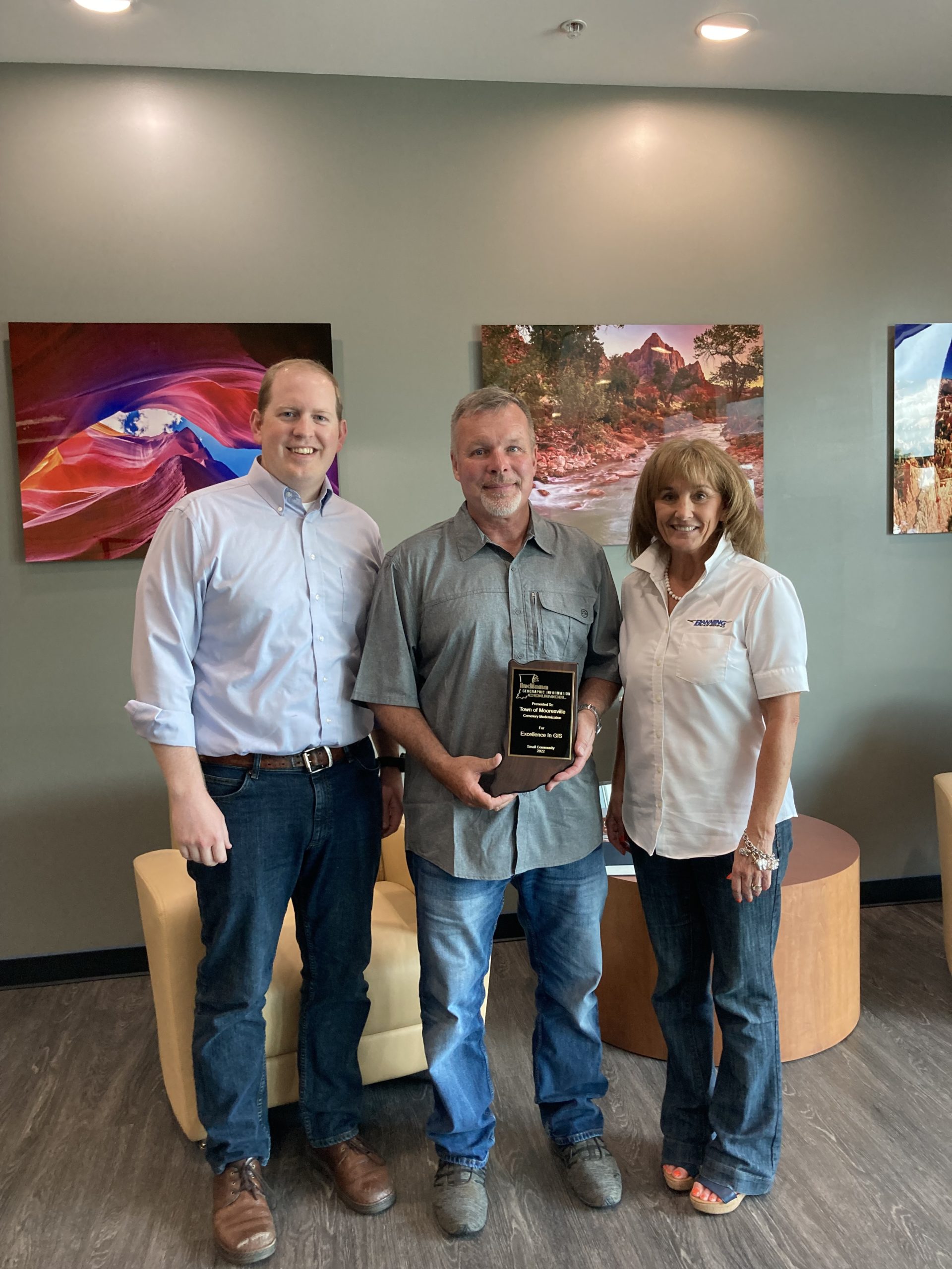
Each year, the Indiana Geographic Information Council honors outstanding projects through the Excellence in GIS Award. This award recognizes organizations in six different categories for their use of geospatial technology to improve our world. At the 2022 Indiana GIS Conference, Banning Engineering and the Town of Mooresville received the Excellence in GIS Award for the Mooresville Cemetery Modernization Project.
The Town of Mooresville currently manages and oversees the local cemetery. The current recordkeeping documents for the cemetery consist of old, hand-drawn maps and handwritten record cards. However, these existing records and maps for the 15+ cemetery sections are old, decaying, and sometimes incomplete. In 2018, a frozen pipe burst and caused water damage, ruining many of the records.
The cemetery corner monuments deteriorated over the years, resulting in unclear section boundary lines. In older sections, inaccurate measuring techniques caused inconsistent grave spacing in some cases. To preserve and share cemetery information, the Town of Mooresville partnered with Banning Engineering to assist in converting their physical maps and records into a GIS application that individuals could use internally (for cemetery management and recordkeeping) and publicly (for viewing).