by c2itconsult | Mar 12, 2025
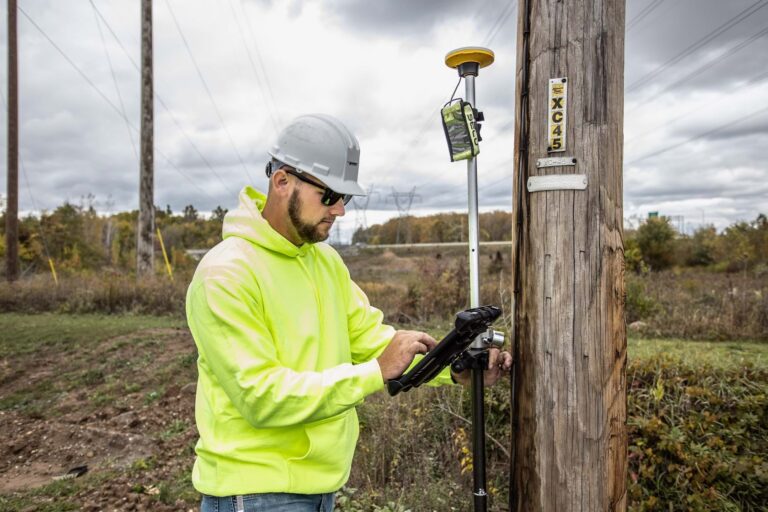
Transforming Utility Management with ArcGIS Field Maps and Trimble Catalyst Banning Engineering is featured in an ArcWatch article from February 2025. With Trimble distributor Seiler Geospatial and Lawrenceburg, Banning began a citywide project to collect utility...

by c2itconsult | Feb 3, 2025
Mapping a Multi-Mile Earthen Levee Some of the most interesting engineering marvels are the ones that you hardly notice or ever think about. To many people, a levee is just a large hill that looks like it would be fun to sled down. But a levee is a crucial engineered...

by c2itconsult | May 23, 2024
Lawrenceburg Levee GIS Mapping Lawrenceburg Conservancy District | 2024 Excellence in GIS Award Recipient The Challenge: The Lawrenceburg Conservancy District (LCD) maintains the levee system that protects against flooding from the Ohio River. The levee involves many...
by c2itconsult | Mar 24, 2023
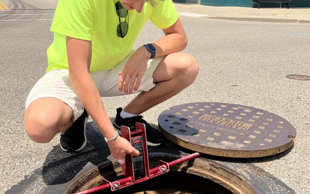
Lawrenceburg Mapping The City of Lawrenceburg sits along the Ohio River in southeast Indiana, 35 minutes west of Cincinnati. Over the years, the City of Lawrenceburg and Lawrenceburg Municipal Utilities (LMU) have managed its power, water, sewer, storm sewer, and...

by c2itconsult | Jun 22, 2022
Banning Engineering SiteVisit360 Are you looking to attract jobs to your community? Banning has helped communities with their economic development efforts for years. Coupling our GIS and 360-degree photo technology, we developed a unique tool for creative marketing....
